National Current Conditions: June 19, 2024 - June 25, 2024


Flash drought is taking hold in parts of the Atlantic Coast, Southeast, and Southern Plains. The Midwest is seeing both flash drought (Ohio Valley) and flooding (Upper Midwest). The Northwest and Northern Rockies also saw drought expand.
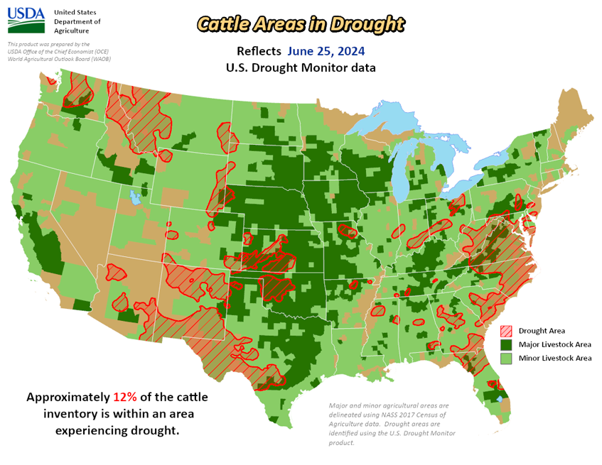
As of June 25, 2024, 13.63% of the U.S. and Puerto Rico and 16.13% of the lower 48 states are in drought, according to the U.S. Drought Monitor.
This Week's Drought Summary…
Much of the eastern contiguous U.S. (CONUS), south of the Great Lakes, received little to no rainfall, and this is on top of several weeks of below normal rainfall leading up to last week. In addition, temperatures have remained hot for many locations. This combination of antecedent dryness, much below normal rainfall, and hot temperatures has resulted in rapidly deteriorating conditions, particularly across the Ohio Valley, Mid-Atlantic, and Southeast, with large increases in abnormally dry (D0) and moderate drought (D1) conditions.
Conversely, southern Texas, the Four Corners region, and the Upper Midwest and Northern Plains experienced several rounds of heavy rainfall. Some locations across southern Texas (associated with Tropical Storm Alberto) and the north-central CONUS received well in excess of 5 inches of rainfall that led to flash and river flooding, as well as improvements to drought conditions. Some localized flooding also occurred in portions of the Four Corners region, associated with a surge of tropical moisture from the remnants of Tropical Storm Alberto that came ashore in northern Mexico late last week. Across much of the western CONUS, conditions are starting to dry out a bit, particularly in the Pacific Northwest and northern Rockies. In Alaska, moderate drought was introduced in the eastern interior Mainland, where warm and dry weather continues, elevating fire concerns. In Hawaii, trade winds are lacking moisture resulting in below normal rainfall across the islands and the widespread expansion of abnormal dryness. Puerto Rico continues to remain drought-free.
Looking Ahead...
During the next five days (June 27 - July 1), a couple of storm systems and trailing frontal boundaries are forecast to bring periods of rainfall to portions of the eastern U.S. These storm systems are likely to usher in some cooler than normal air behind them, particularly across the northern tier of the lower 48 states. Temperatures are expected to remain predominantly warmer than normal across the southern tier of the U.S., with excessive heat also possible across the Gulf Coast states.
The Climate Prediction Center’s 6-10 day outlook (valid July 2 - 6), favors enhanced chances of above average temperatures across the southern two-thirds of the lower 48 states and near to below normal chances across the northern tier states. Near to below normal temperatures are also favored in the Desert Southwest, due to the increased potential for above normal precipitation. Below normal precipitation is favored across parts of California and Nevada, and across the southeastern U.S. Increased above normal precipitation chances are favored elsewhere across the lower 48 states, with the highest chances across portions of the Southwest and Midwest.


